
Pittsburg ZIP Coverage at a Glance
Official sources support 66762 as the common Pittsburg mailing ZIP. Nearby 66763 is tied to Frontenac as its preferred city and may appear in local address work. It cannot be counted as a Pittsburg municipal area without checking the exact address through USPS and a city or county map. The direct USPS alias list was not captured in the research, so this ZIP code directory keeps that uncertainty visible.
| ZIP Code | Areas Covered | Post Office | Notes |
|---|---|---|---|
| 66762 | Pittsburg mailing area | Pittsburg Post Office, 702 N. Locust | Verify each street address through USPS |
| 66763 | Frontenac and nearby Crawford County mailing area | Not established in the cited sources | Do not equate it with Pittsburg city limits |
USPS reported in 2022 that Opolis postal operations were temporarily moved to the Pittsburg Post Office. That is a mail-service event, not an annexation and not proof that every Opolis address uses 66762. No official unique institutional ZIP, Pittsburg ZIP split, or complete realignment date was located. Avoid adding one from a commercial ZIP list.
Checking a Pittsburg ZIP Address
The USPS ZIP Code Lookup offers three distinct searches. An address search takes company, street, unit, city, state, and optional ZIP. City-and-state mode returns postal information for a place. Cities-by-ZIP reverses that question. USPS warns that a ZIP result does not confirm that a person or company occupies the address.
| Mode | Required input | Best use |
|---|---|---|
| By Address | Street, city, and state | Confirm the current delivery ZIP |
| By City and State | City and state | Review postal ZIP results for Pittsburg |
| Cities by ZIP | ZIP | Check the preferred or accepted city label |
Save the full response and retrieval date. Postal assignments can change while deeds, plats, and city boundaries stay the same. For post-office history, USPS Postmaster Finder returns ZIP, office, state, and establishment or discontinuance dates from a first-three-digit range.
Mapping Pittsburg ZIP Clues
Crawford County's ORKA landing page opens a parcel and map route for local geography. The ORKA geocoder accepts address, city, county, state, ZIP, and ZIP4. Those fields can narrow a failed address search, but they do not produce a reliable list of all Pittsburg residents.
The official ORKA boundary-layer service shows the type of GIS data available for comparison.
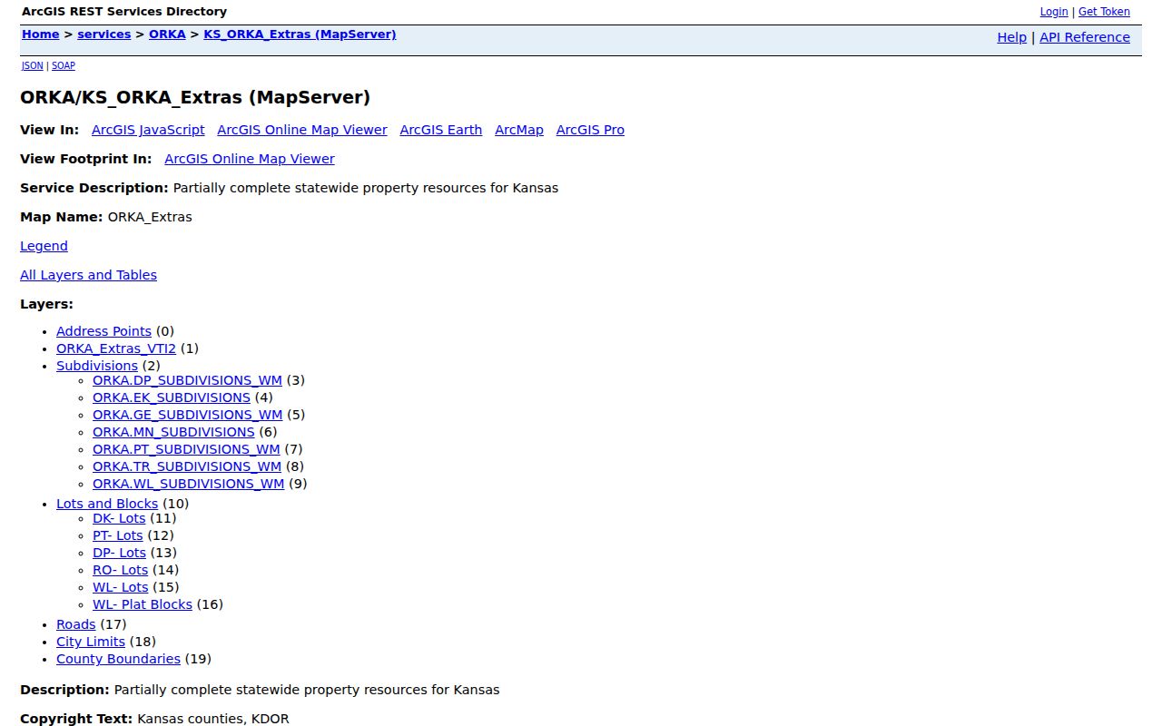
Use the map to connect a postal result to a parcel and legal description. A map label is still not a deed or proof of occupancy.
The county's GIS and 911 Addressing office handles addresses outside incorporated cities.
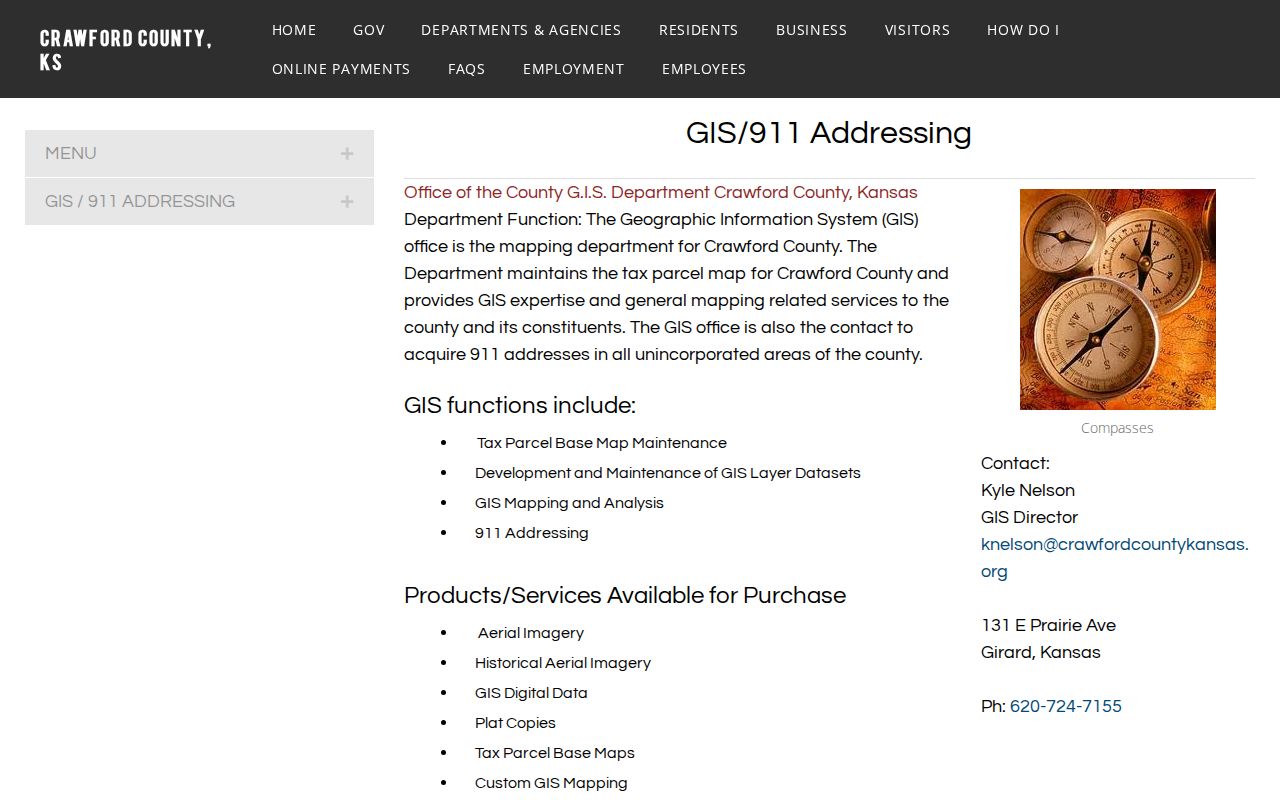
Inside Pittsburg, the city Building Official assigns addresses. That division explains why the correct custodian depends on municipal limits, not the mailing city alone.
Pittsburg ZIP and Census Layers
Census ZIP Code Tabulation Areas, or ZCTAs, are statistical approximations. They are not exact postal delivery boundaries. The 66762 ZCTA and the separate 66763 profile help compare dated population data, but neither can decide whether a parcel is within Pittsburg.
The Kansas Historical Society's Kansas census indexes also show why historic address research predates modern ZIP filters.
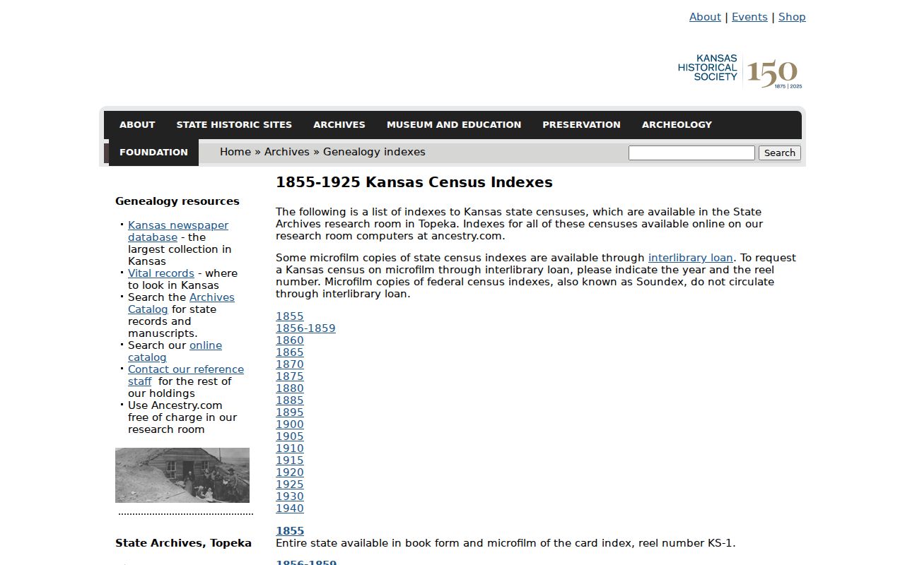
Old volumes should be searched by printed street, city spelling, township, and year. Applying 66762 to a record made before ZIP codes can hide the right household.
Pittsburg ZIP Map History
The Crawford County maps and projects catalog describes 6,319 documents from 1882 forward, including city plats, subdivisions, election maps, schools, townships, and transportation material.
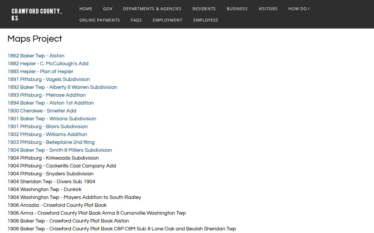
Those dated maps can show whether a lot, road, or subdivision existed at the time of a record. They should be paired with a deed legal description and the current official boundary layer, not treated as postal maps.
Recent county minutes show why dates matter. A 2025 hearing concerned vacating platted streets in Gross' Subdivision, while another 2025 record denied an annexation. Each is one proceeding, not a full city-boundary history.
Pittsburg ZIPs and Neighborhoods
Pittsburg's Neighborhood Advisory Council was created in 2023 and now uses a four-quadrant civic map. The current NAC page seeks 2026-27 volunteers and links that citywide community layer.
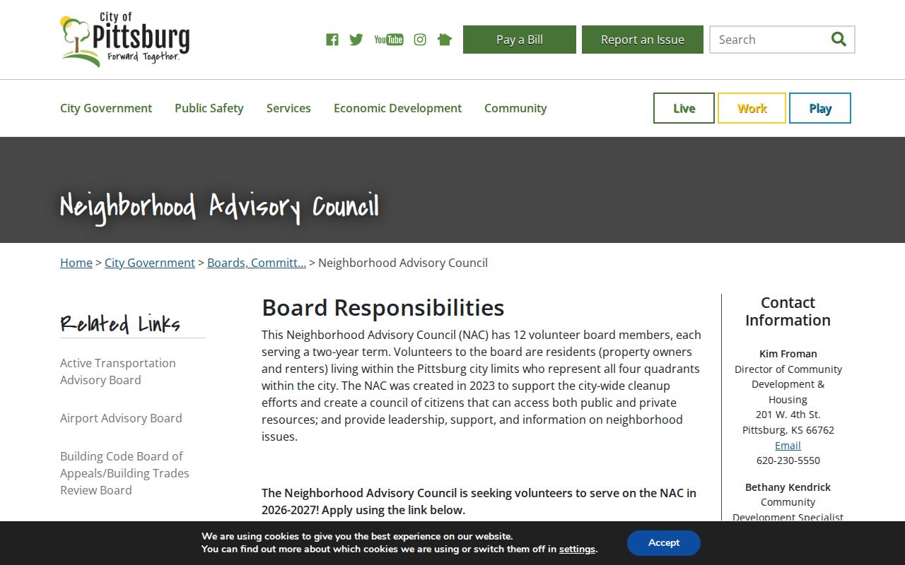
The quadrants are not ZIP zones and should not be projected backward onto old records. They help organize current civic questions after USPS and municipal geography have identified the right location.
Pittsburg Mailing and Situs Labels
A tax record may show both a situs address and a mailing address. Situs means the physical place of the parcel. The mailing field tells the appraiser where to send notices and may belong to an owner, estate, trust, or contact somewhere else. Neither field alone names the current occupants. A deed's legal description identifies the land through the description used in that specific instrument.
Keep the USPS response beside the parcel card instead of copying one label over the other. The postal city serves mail. The situs ties the account to a physical site. The deed establishes the recorded land interest, and city GIS tests municipal jurisdiction. Crawford County's exact parcel-number format was not found in the official sources reviewed, so obtain the identifier from the actual ORKA or CIC result rather than borrowing a format from another Kansas county.
Election geography needs its own check. VoterView uses a specific person's name and birth date, and its address mode points to polling information. The County Election Division's precinct map is the correct layer for precinct work. Kansas voter-list limits also mean a ZIP code should not be used to assemble an unrestricted list of people. The sound result is a dated geographic note, not a guessed resident roster.
Note: Preserve the source date with every Pittsburg mailing, parcel, city-limit, or precinct label because each custodian updates on its own schedule.
Finding Pittsburg Records by ZIP
A ZIP can narrow a parcel or map search, but Kansas does not provide an open ZIP-wide resident roster through VoterView. That portal begins with a person's name and birth date, while its address mode locates polling information. CIC is advertised as a public parcel search, though its exact ZIP filter and export controls were not visible in static inspection.
- Run the full address through USPS and save the response date.
- Search ORKA by street, then try ZIP or ZIP4 if the address string fails.
- Compare the parcel situs and legal description with Pittsburg city GIS.
- Use VoterView by name and birth date only for a specific voter question.
- Move to the Pittsburg street directory when the task narrows to one street.
Keep four labels in the research log: postal city and ZIP, municipal limits, parcel situs and legal description, and election precinct. That prevents one map layer from being used as a substitute for all the others.
Pittsburg ZIPs Versus City Limits
A Pittsburg mailing address can sit outside municipal limits, while a nearby city label can appear on a delivery address close to Pittsburg. County GIS/911 assigns unincorporated addresses; the city assigns those within Pittsburg. Precinct boundaries come from election maps, and parcel identity comes from the appraiser and deed. The 66763 Frontenac association is the clearest local warning against turning a ZIP code directory into a city-boundary map.
- ZIP and ZIP+4
- A five-digit delivery area and its finer four-digit mail segment.
- PO-box ZIP
- A ZIP used for post-office boxes rather than ordinary street delivery.
- Unique ZIP
- A code assigned to one high-volume organization; none was established for Pittsburg in the cited research.
- Carrier route
- A postal delivery path that may cross other civic map lines.