
Walk a Pittsburg Street
A reliable street search moves from land to names, and then checks what each name means. Crawford County does not advertise a stable button that returns every resident on one street. Instead, use Crawford ORKA to locate parcel polygons and the county property route for a dated parcel report. Keep the situs address, meaning the physical location, separate from the owner's mailing address. Those may differ.
- Enter the address or place in ORKA, inspect the road and parcel geometry, and save the map date.
- Open the linked county property report when available. Record the parcel or account ID, situs, mailing name, and legal description.
- Use the legal description and current deed reference with the Crawford County Register of Deeds. Save grantor, grantee, instrument, date, and book/page.
- Check VoterView only for a known person with the required name and birth date. A registration result is dated evidence, not a whole-street roster.
- For past households, consult Pittsburg directories and the 1925 street-address census index, noting missing years and publication dates.
This parcel-first sequence keeps a Pittsburg street directory from turning a map label into an unsupported claim about a person. A current owner, a taxpayer, a registered voter, and a printed directory subject each have a distinct connection to the address.
Pittsburg Street Map Fields
The ORKA ArcGIS experience can search property attributes or a point on the map, toggle imagery, and create property-description reports. The static source exposed the geocoder controls below, but not a populated Crawford County parcel card. Do not fill absent fields from guesswork. The county parcel page also gives a useful operating tip: click Search instead of pressing Enter, and reset the form after each CIC search.
| Search control | What to enter | Street use |
|---|---|---|
| Address or Place | Street number and name | Centers the map near a parcel |
| Address2 / Address3 | Extra address lines if needed | Keeps unit or secondary details distinct |
| Neighborhood / City | Pittsburg or mapped locality | Narrows similar road names |
| County / State | Crawford / Kansas | Confirms jurisdiction |
| ZIP / ZIP4 | Mailing code when known | Refines the geocoder, not city limits |
The county parcel-search page links both ORKA and the CIC portal. The image below shows the public Crawford entry point rather than a private parcel.
View the Crawford ORKA gateway used for map-based street work.
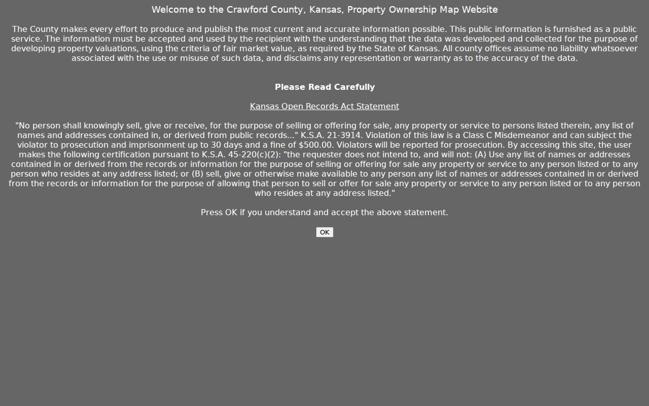
The gateway confirms that mapping is public while its disclaimer warns that valuation information is not guaranteed. Treat the map as a finding aid, then confirm the parcel and deed.
Pittsburg Records by Address
Several custodians can describe one Pittsburg address, but they answer different questions. The following street directory coverage table makes the source role explicit and includes every access channel documented in the research.
| Address source | Custodian | What it can establish | Access route |
|---|---|---|---|
| Parcel assessment | Crawford County Appraiser | Parcel ID, situs, mailing name, legal description, dated value | ORKA/CIC, appraiser counter, phone |
| GIS layers | County GIS/911 and City GIS | Parcel shape, roads, city line, zoning, flood and school context | Public viewers; purchasable map and data products |
| Recorded instruments | Register of Deeds | Grantor, grantee, deed, lien, release, plat and prior reference | Counter, phone/written request, Tapestry, Laredo, State Archives |
| Taxes | Treasurer and County Counselor | Tax-year status, delinquency, publication and redemption stage | Portal, courthouse, Pittsburg Judicial Center, dated notices |
| City action | Building Safety | Permit or code event, applicant if public, status and final action | Cityworks or a focused KORA request |
| Historical address | PPL, NARA, Gale, KSHS | Printed name, street, directory year, census or map context | Library staff, microfilm, archives, licensed databases |
The Crawford CIC property portal is one public parcel route. Its exact guest field set was not visible in static research.
The portal capture identifies the correct county system. A useful result still needs its source date and parcel identifier before it enters a street research log.
Pittsburg Maps Are Not Deeds
A GIS polygon shows where mapped land lies. It does not transfer title. For ownership history, carry the parcel's legal description to the Crawford County Register of Deeds at the Girard courthouse. A grantor is the party conveying an interest; a grantee receives it. The archival Crawford index for 1870 through 1901 can show time received, both parties, instrument, volume/page, remarks, and tract description.
Modern choices include the county counter, pay-as-you-go Tapestry for occasional users, and subscription Laredo for regular use. The county advises an inexperienced searcher to contact the office. Staff are not hired researchers, so give a legal description, party name, date range, or prior book/page instead of asking generally about a house.
Check the Register of Deeds access and counter information.
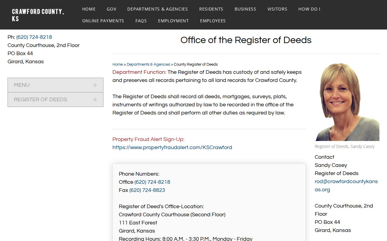
The office page is the fallback when a web index is unclear, when an older book is needed, or when a copy request must identify a specific instrument.
Pittsburg Deeds Along a Street
Tapestry is the county's occasional-user land-record option. Search a known owner or deed party, then compare the legal description with the parcel and plat. The modern coverage cutoff and public field labels were not published in the inspected landing page, so the safe fallback is the Girard counter or a precise written or phone request. Laredo serves subscription users with real-time data and image printing.
Open the authorized Tapestry deed-search service.
The service is a deed-index route, not a street directory of occupants. Save the instrument number or book/page and examine the recorded paper before extending an ownership chain.
Recording rules also help explain why a legal description matters. Crawford County requires legible originals, signatures and notarization, typed names, dates, contact information, and the land description. Deeds generally need a Sales Validation Questionnaire unless an exception applies.
Review Crawford County's recording requirements.
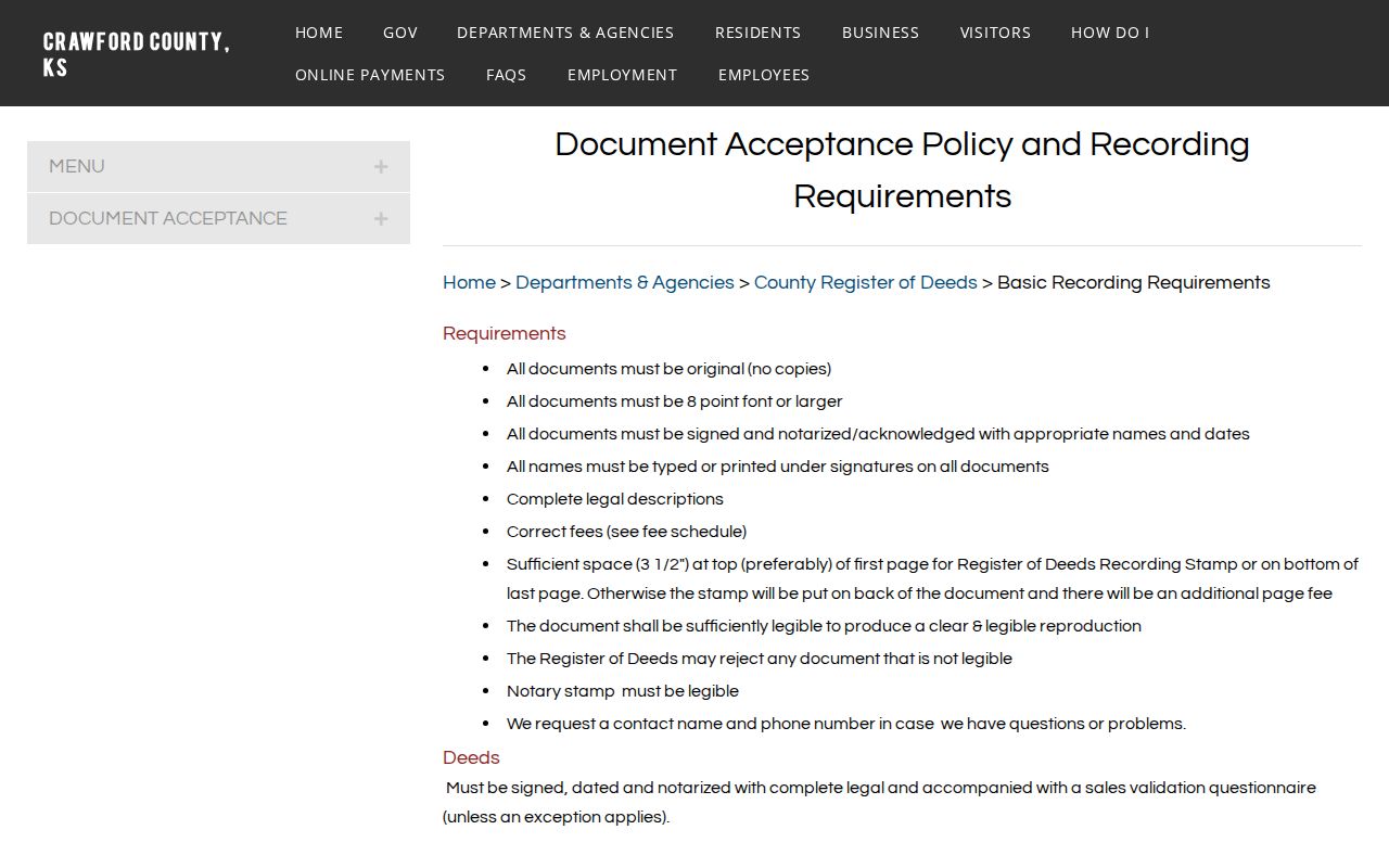
The requirements show why a deed can be tied to land even when the current street number does not appear in the same form.
Pittsburg Permits by Street
The Pittsburg Building Safety Division handles permits, inspections, code work, licensing, and city address assignment. Cityworks provides a public application route, but research did not locate a complete public historical permit index by address. Ask for a narrow date range, record type, and address under the Kansas Open Records Act when the portal cannot answer.
A permit may identify a project, applicant, contractor, inspection, and status if those fields are public. It does not establish who lived there. Log it as a municipal event alongside, not inside, the deed chain. The same care applies to a code report or service request.
Pittsburg Tax Status Is Dated
Crawford County sends real-estate taxes delinquent for more than three years to the County Counselor for foreclosure. Sale notices run in the official newspaper for three straight weeks, and the county guide tells buyers to check appraiser, deed, zoning, building, easement, covenant, and redemption records. A notice is one stage, not proof that title changed.
Search tax history through the county's linked route or request it at the courthouse or Pittsburg Judicial Center. Always record the tax year. Payment by one party may not identify the owner or occupant, and a tax mailing name may be an entity, estate, or out-of-town contact.
Pittsburg Streets Through Time
For an older block, use city directories as dated evidence. NARA lists Pittsburg volumes for 1919, 1926 through 1928, 1930, and 1933. Gale's reels cover 1902 through 1960 with many gaps, while the Kansas Historical Society's 1925 printed census index includes street addresses. A missing name may reflect a missing volume, changed street, publisher shift, move, or death.
Ask Pittsburg Public Library whether the exact reel contains a reverse section. The Pittsburg city directory collection explains the known year runs and how to cite a printed entry. For land context, compare the 1906 plat, KU's 1905 Sanborn map, and PSU's circa-1930 map with the legal description rather than forcing an old building into a modern number.
Pittsburg Street Directory Limits
No public source found in the research produces a complete list of everyone inside each Pittsburg home. A parcel report may name an owner or taxpayer. A deed names parties to an instrument. VoterView returns a registration record only through its allowed inputs, and protected addresses may be withheld. Printed directories reflect publication-time associations and often omit people or years.
Use neutral wording such as “associated with the address in the 1930 directory” or “named as grantee in the recorded deed.” Never turn parcel adjacency into a claim about neighbors. Current vital records, sealed court files, Safe at Home addresses, driver's-license data, and secret ballot choices remain outside a street search.
Lawful use. Pittsburg address records are for lawful personal research. Do not use a street directory to stalk, harass, intimidate, or expose a protected address.
The best street directory result is a dated source trail: address, parcel ID, legal description, instrument or page, custodian, retrieval date, and a plain statement of what each record actually proves.